With Maps that Matter we rethink the methods and content we use to teach computer science in order. Our goals are to expand the field to welcome students from previously excluded groups. We have a co-commitment to changing the culture of computer science by challenging the core core tenets of solutionism and techo-capitalism; looking for ways that computer programming can be used as a tool for expression and critique.
Drawing on theories of spatial justice and critical cartography, we design interdisciplinary computing courses, and new software tools to embed the study of computer science in the context of geospatial, political data, and map-making.
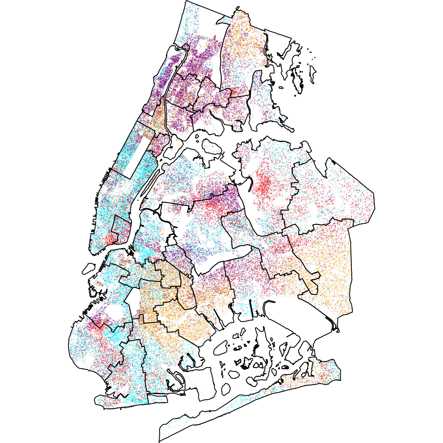
Funding from the Mozilla Foundation's Responsible Computing Challenge provided MIXI faculty Matt Curinga and Suraj Uttamchandani, along with John Drew (SUNY New Paltz), the opportunity to redesign a 300-level Communications seminar and a First-Year Seminar. We are studying how interweaving aspects of computer science, interaction design, spatial justice, and critical cartography; can increase motivation and achievement in grasping core CS concepts, while deepening students understanding of the both the spatial and technical connections to political questions.
Dr. Curinga was also able to use the approaches developed to rethink his graduate Introduction to Programming as a project-based intro to CS using maps, python, and data from the US Census.
Publications
Curinga, M. X., Uttamchandani, S., & Drew, J. (under review). Examining the role of computing as an expressive medium for spatial issues in framing undergraduates’ learning. Proceedings of the Fifth Annual Meeting of the International Society of the Learning Sciences.
Uttamchandani, S., Curinga, M. X., & Drew, J. (2024). Cartographic Syntonicity as a Tool for Equitable Computer Science Education. Proceedings of the Fourth Annual Meeting of the International Society of the Learning Sciences. https://doi.org/10.22318/icls2024.796467
Software
nycscyhools: Free Open Sources Software python library, clean data, and learning materials to help
new (and experienced) programmers work with open data and geospatial data related to
New York City Public Schools.
[docs]
[code]
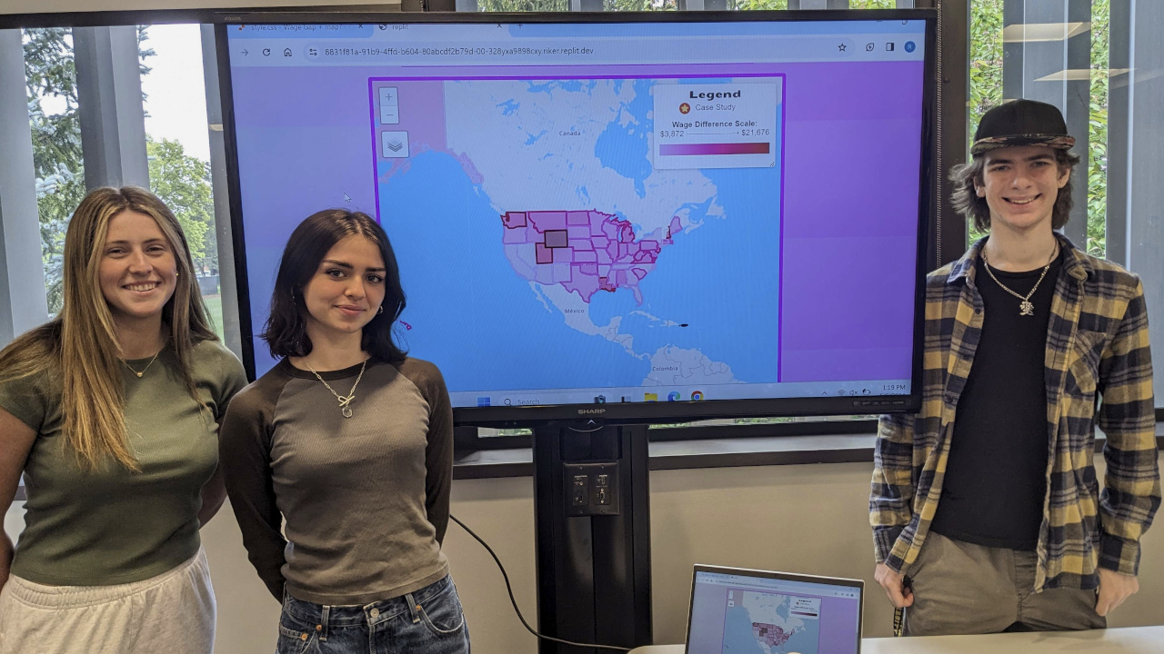
maptools: Free Open Sources Software python library
that provides utilities for working with US Census data and creating geospatial visualizations
that work with geopandas, folium, and leaflet.js
[code]
Contact: Dr. Curinga, mcuringa@adelphi.edu